 Jonathan Harris sent me a test package showing how that 850 betas misplace objects at high altitude. The pyramid is 1000 meters up, and the object should be right on top of it. (Mind you DSF has a little bit of rounding error; the amount depends on the smartness of the DSF writer. DSF2Text isn't that smart, so I can't promise it's better than half a meter anyway.)
The problem is that X-Plane figures out how high the ground is based on a cartesian coordinate system, not based on true round world math. This is not a problem as long as the ground and the point you are looking at the ground from are not that far apart vertically. (This is why this does not represent a physics bug; as the plane gets closer to the ground, the error in terrain height, which is also a function of slope and is thus probably zero on a good runway, gets smaller and smaller until we are dead-on at the instant the wheels touch down.)
The problem is that DSF objects do not have elevation specified in the DSF file; they are "dropped" onto the terrain. In order to drop them and know their elevation, we must have their location in cartesian coordinates, and that requires knowing their elevation. Doh! A paradox.
X-Plane 850 used to simply pick an elevation of 0 to start out the process. This leads to a lot of error at high elevation areas away from the center of mapped scenery. X-Plane 850RC4 "solves" this problem (temporarily until I can come up with something better) by dropping the object twice. The second drop is done using the height of the first drop to redo the conversion from lat-lon to cartesian coordinates. Since the first drop is only off by a little bit (a few meters usually) the error introduced in the second drop is very little.

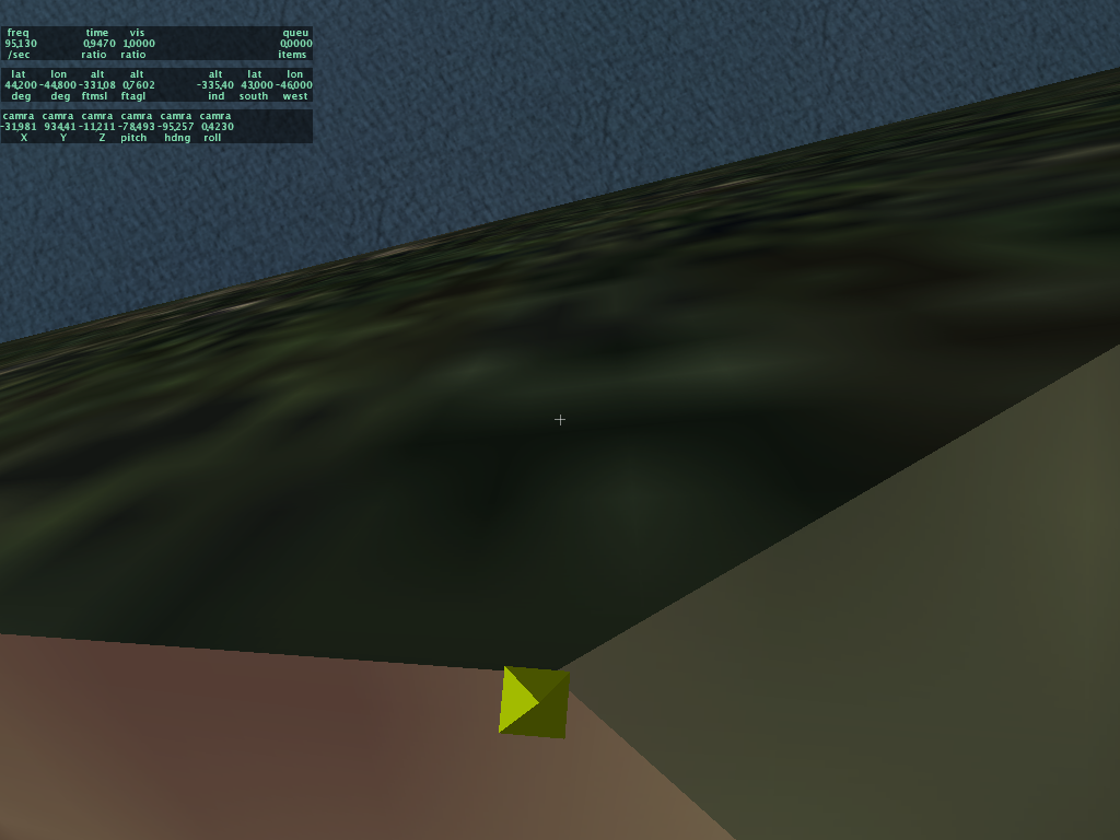 Here's a comparison of placement in 850RC3 and RC4 (coming to a web page near you soon I hope). The object is 5 meters tall and 1 meter across. While RC4 is still not perfect, the error should be small enough that you won't have to hack your scenery package to get good object placement.
No comments:
Post a Comment