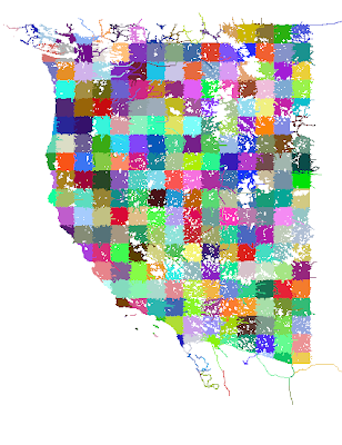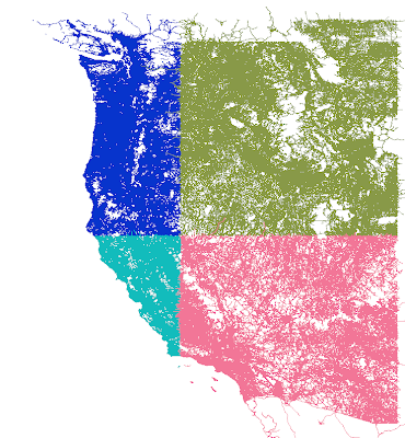

The first picture is 1x1 tiles, which are derived from the second picture (10x10s). You'll see some "ragged" edges. This is because the cutting scheme leaves whole roads of interest in one piece even outside the tiling bounds. Later, more sophisticated code crops the road when the actual DSF is built.
The OSM processing tools are part of the open source scenery tools; I will get my changes checked in to source control over the next few days, although my code is only one of dozens of programs for bulk processing OSM.
2 comments:
OSM is an amazing resource!
I really look forward to seeing how XP10 can implement the latest OSM dataset.
One thing that really bugs me in XP9 is the way it renders "fake" beaches. Can XP10 have an option to not render these beaches?
Already in OSM there are many accurate beaches (eg on resort island of Boracay in the Philippines) can you please please please include an option to turn off the randomly generated beaches in XP10? It's really weird flying into RPLL 06 over Manila Bay and seeing beaches. Id rather see naked coastline.
XP10 is going to be fantastic with this new OSM data. Looking forward to it!!!
Kind regards MatthewS
To get rid of the beaches: create a custom scenery pack that exports a new custom .bch file similar to ours but with a transparent 2x2 pixel texture. You can use the library to replace ours.
Post a Comment